3.5.1.6. Navigator
From version 1.4.0, a new module has been added: the Navigator (daq_utils.plotting.navigator). It is most useful when dealing with 2D scans such as XY cartography. As such, it is not displayed by default. It consists of a tree like structure displaying all currently saved 2D scans (in the current dataset) and a viewer where selected scans can be displayed at their respective locations. It can be displayed using the Settings menu, Show Navigator option. Fig. 3.36 shows the DAQ_scan extension with activated Navigator and a few scans. This navigator can also be used as a Scan Selector viewer to quickly explore and select areas to scan on a 2D phase space.
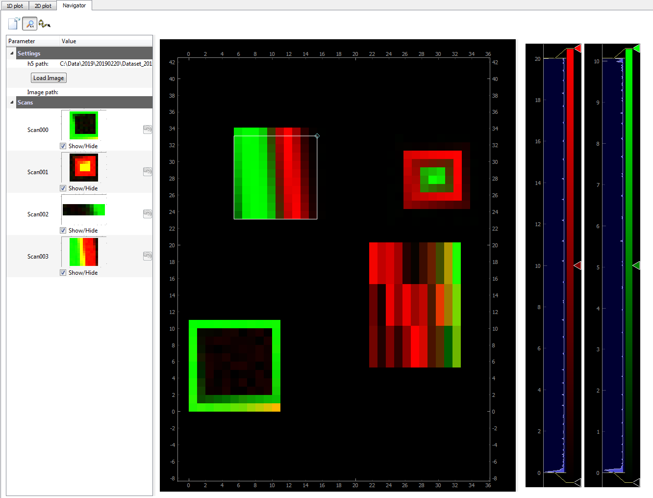
Fig. 3.36 An example of dataset displaying several 2D scans at their respective locations (up and right axis)